‘QGIS.rs’: Explore WPS services
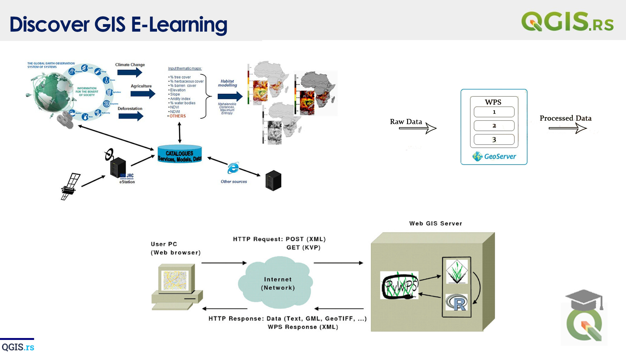
The Web Processing Service (WPS) in QGIS is a standard for running and executing geospatial processing algorithms and models in a web-based environment. It allows users to run complex geospatial analysis and modeling tasks without the need for specialized software or expertise.
“GIS is a tool that can help us understand the complex systems and relationships that make up our world.“ - ChatGPT
