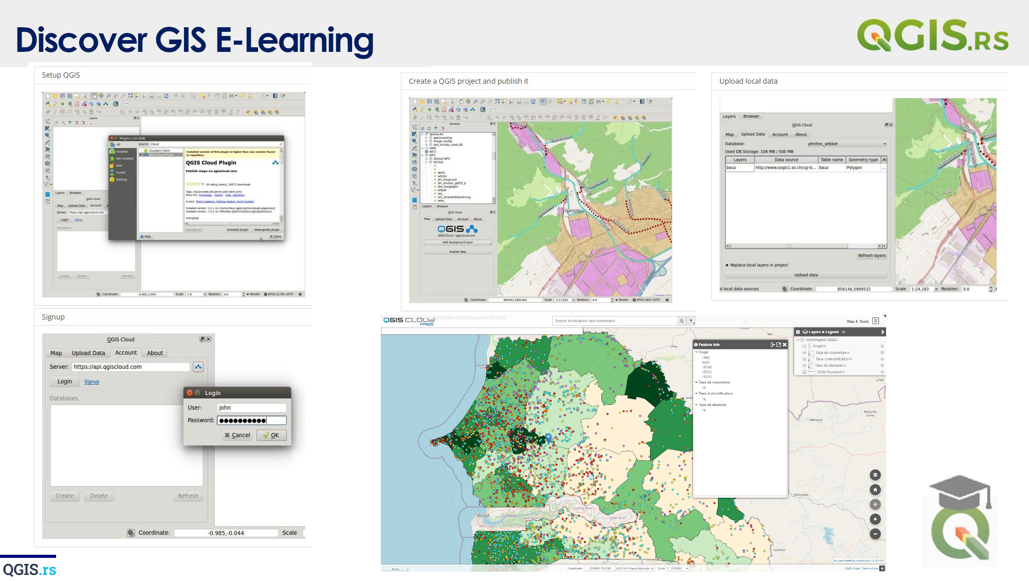
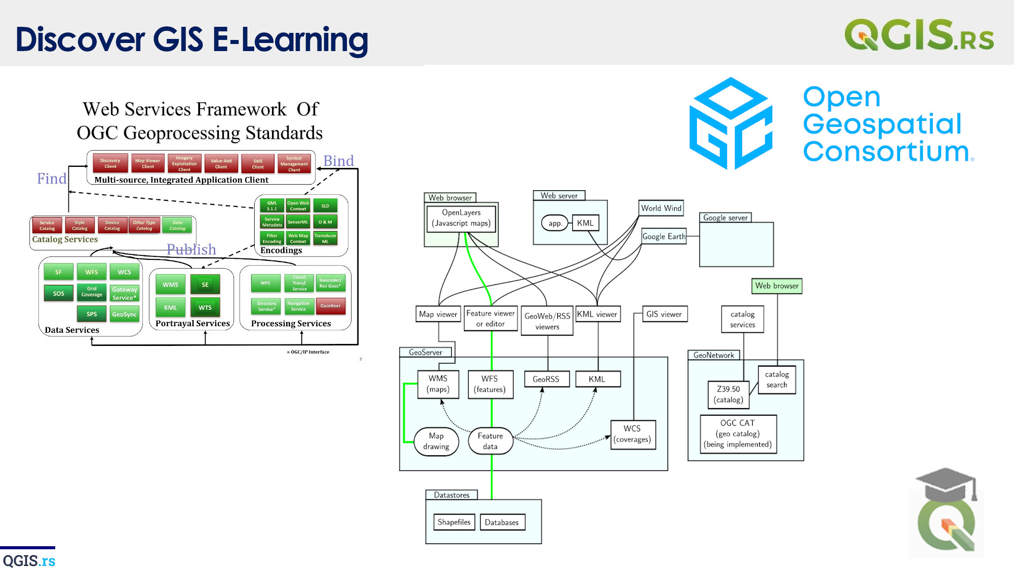
‘QGIS.rs’: Explore WMTS services
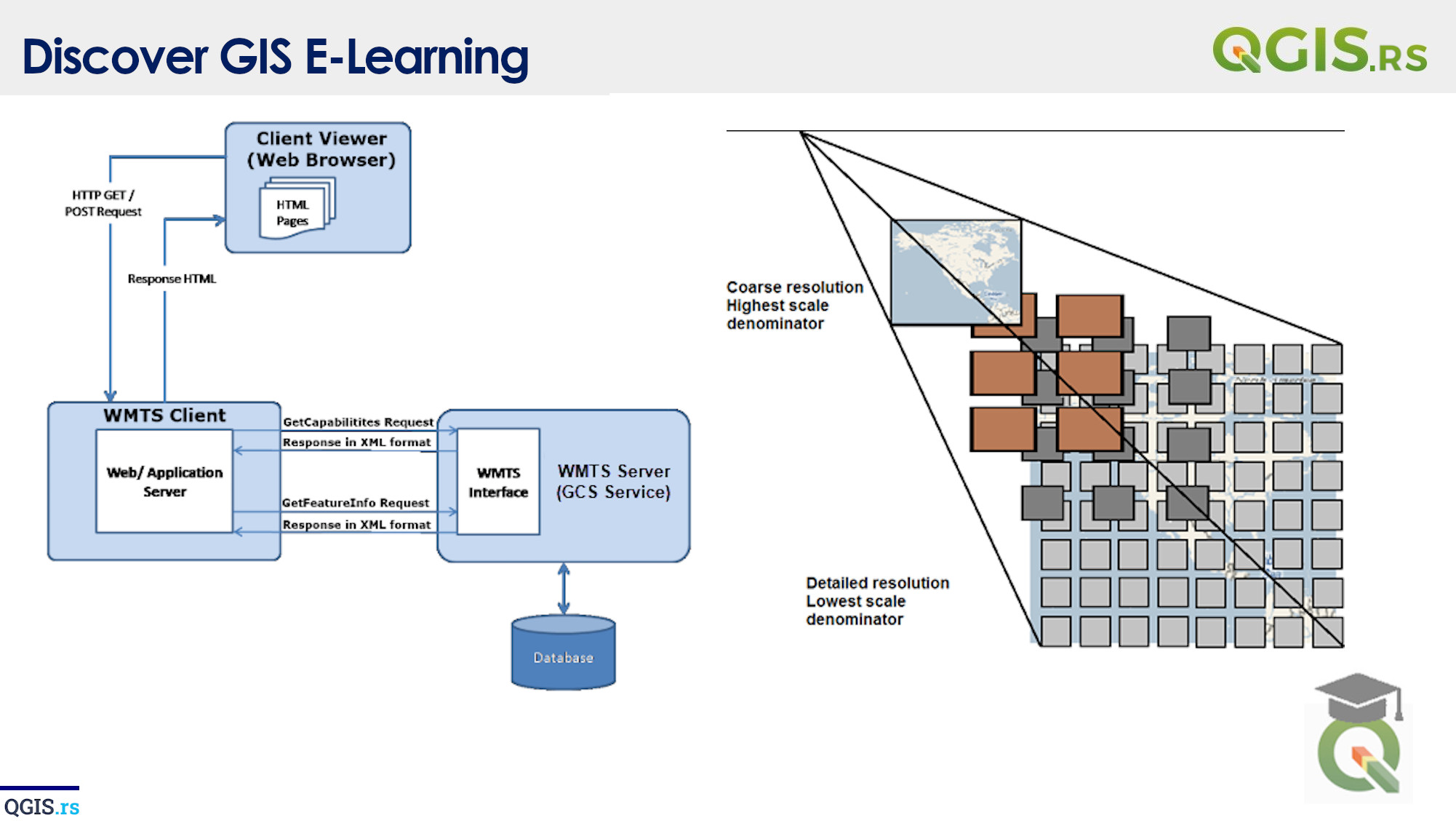
WMTS stands for Web Map Tile Service, which is a protocol for serving pre-rendered map tiles over the internet. It provides a simple and efficient way to access high-resolution maps over the web. QGIS, as a powerful open-source GIS software, can connect to various types of WMTS services to access and display maps.
“GIS empowers individuals and organizations to make informed decisions by visualizing and analyzing their data.“ - Esri
march 28, 2022
august 18, 2022
august 18, 2022
august 18, 2022
august 18, 2022
august 18, 2022
august 18, 2022