‘QGIS.rs’: Learn about projection systems in QGIS.
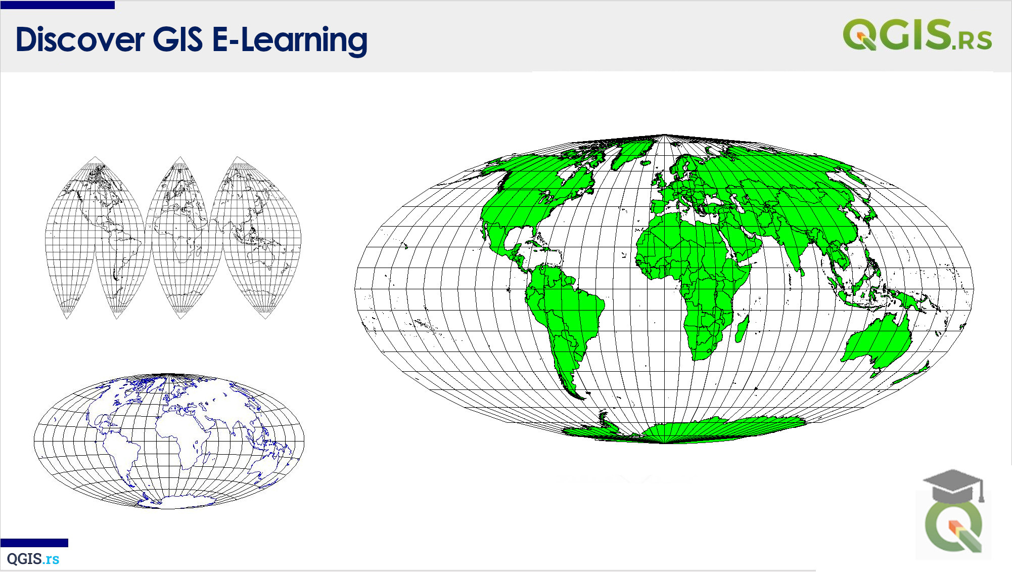
Projections are an essential component of GIS data. It's a representation of the earth's surface on a flat surface, like a map. In QGIS, projections play a crucial role in ensuring that your data is displayed correctly on the map. Without proper projections, your data could appear distorted or shifted in the wrong location.
“Without geography, you’re nowhere!”-Jimmy Buffett
