‘QGIS.rs’: Place your raster data where it belongs on world map using QGIS
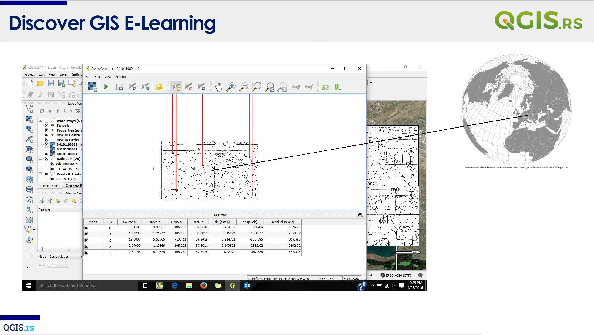
Hi everyone! Today, we will be talking about georeferencing in QGIS. Georeferencing is the process of assigning geographic coordinates to a raster image or a scanned map, which allows us to display it correctly on a map. This is especially important when working with older maps or images that do not have the geographic information embedded in them.
“The earth is a telling image of the mind: every part reveals something of the person who made it.“ - Oscar Wilde
