‘QGIS.rs’: Learn about Digital Elevation Models
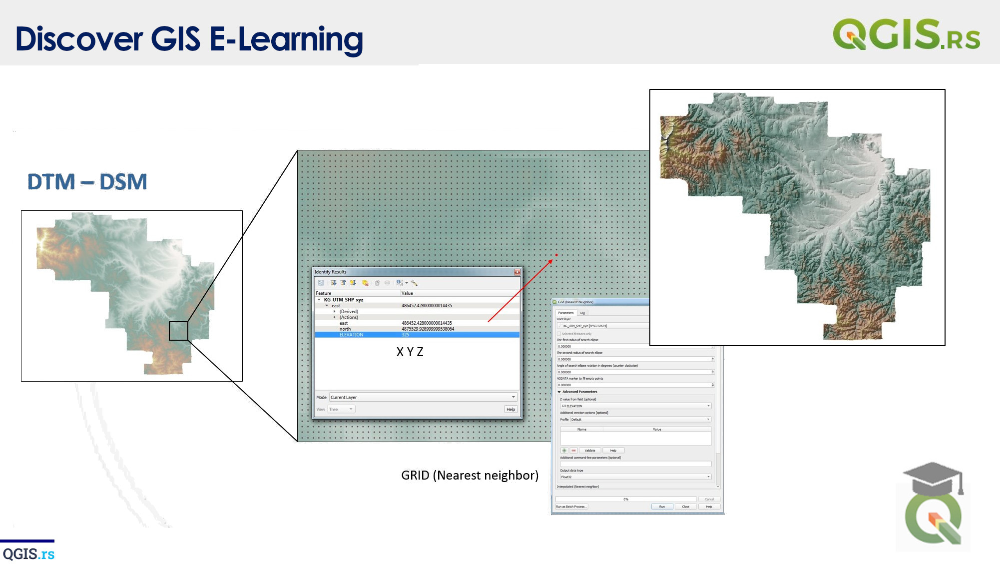
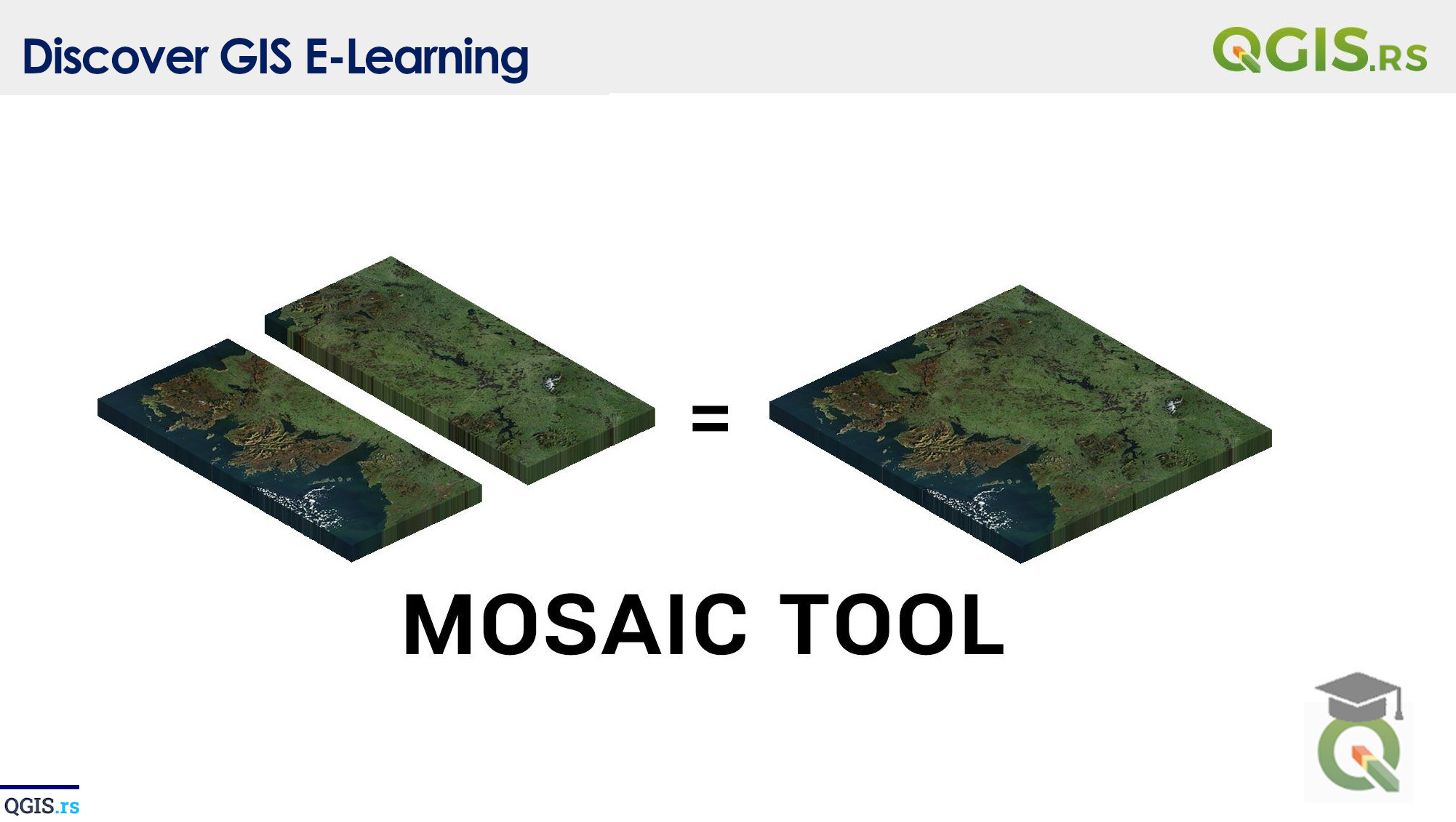
Digital Elevation Models (DEMs) are 3D representations of terrain surfaces created from a set of elevation data points. These models provide information on the height and shape of the terrain, and are commonly used in a variety of fields, including geography, geology, and earth science.
“GIS is the bridge between the virtual world and the real world.“ - ChatGPT
