‘QGIS.rs’: Is 3D supported by QGIS?
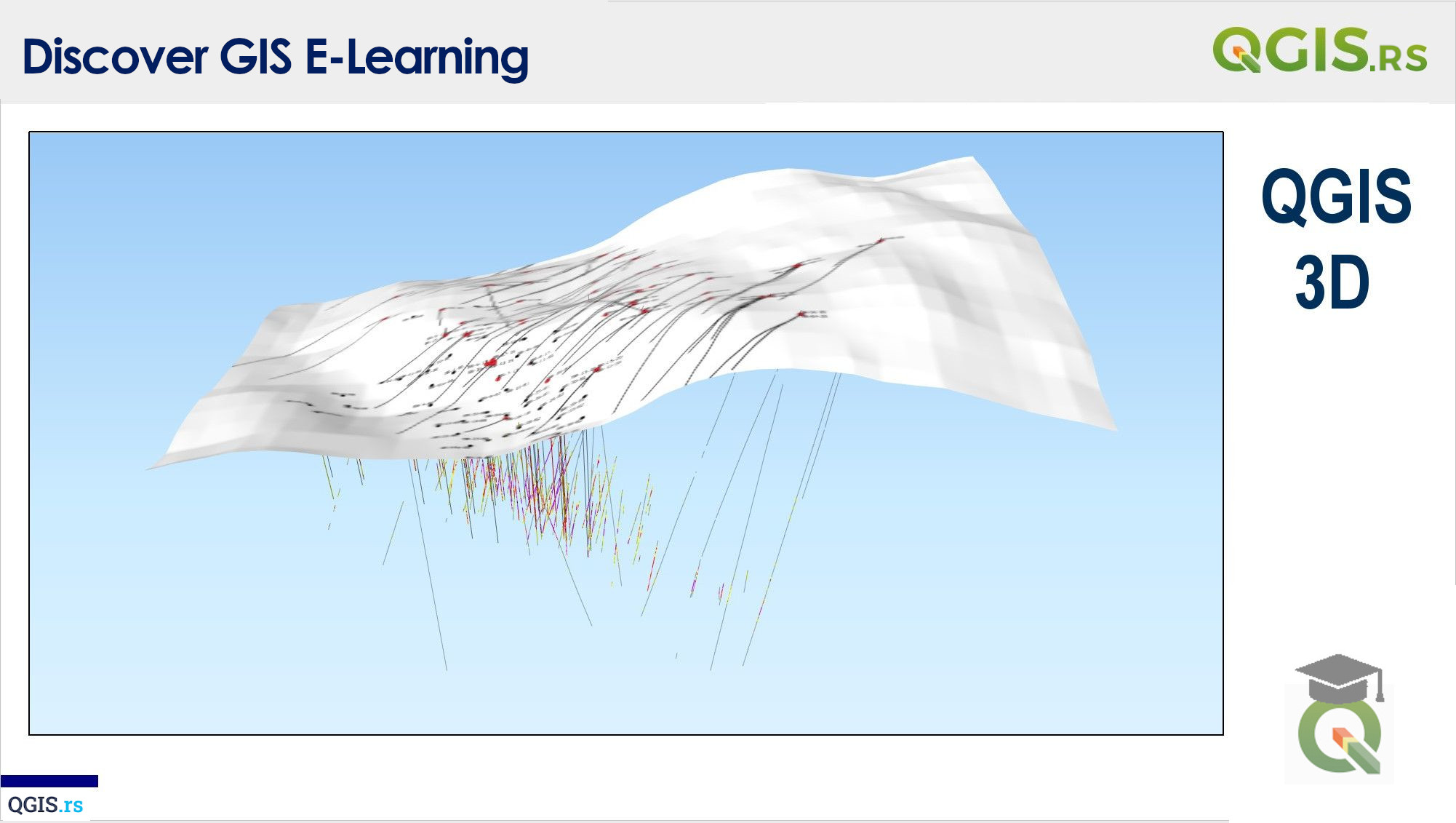
QGIS is a powerful open-source Geographic Information System (GIS) software that allows users to create and visualize spatial data in 2D and 3D. The 3D visualization feature in QGIS enables users to represent terrain data, building models, and other spatial information in a more intuitive and interactive manner. With QGIS 3D visualization, users can better understand and analyze the relationships between different geographical features and their geographical location.
“The world is not flat and boring, but a dynamic 3D sphere full of complexities to be explored.“ - ChatGPT
