‘QGIS.rs’: Visualization of geographical data in three dimensions
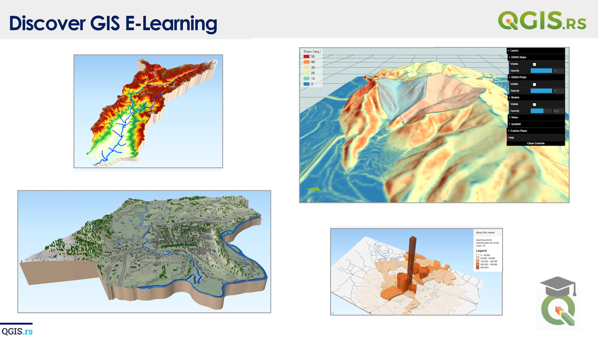
QGIS 3D refers to the visualization of geographical data in three dimensions. It allows users to visualize and interact with terrain, buildings, trees, and other features in three dimensions.
“The world is not flat and boring, but a dynamic 3D sphere full of complexities to be explored.“ - ChatGPT
