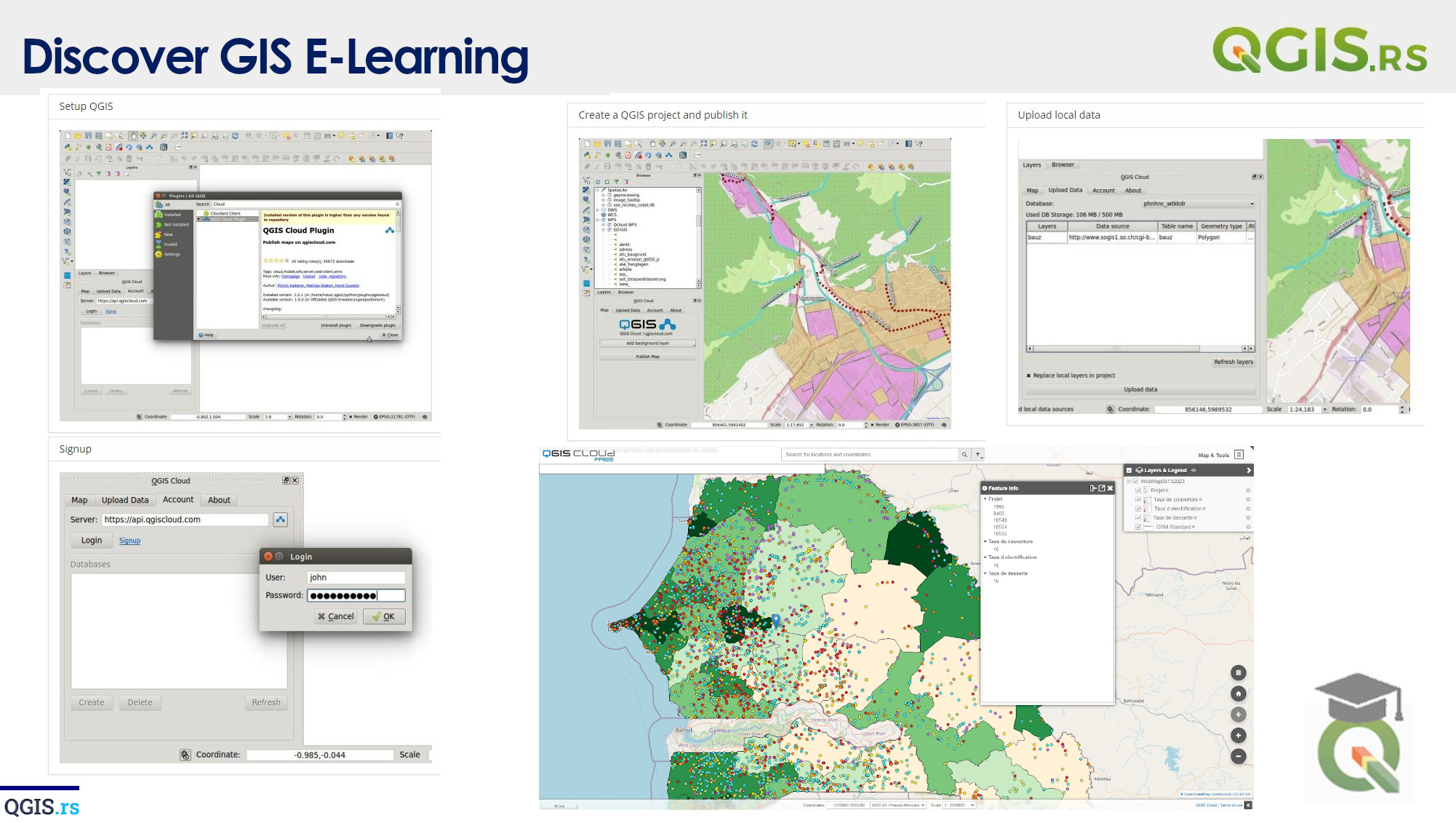
‘QGIS.rs’: First things first. Why we are here?
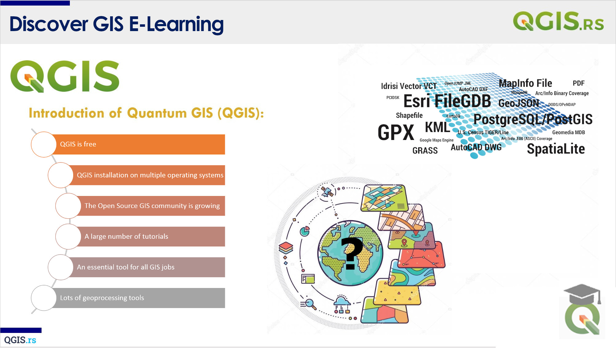
GIS stands for Geographic Information System, which is a system used to store, manage, analyze and visualize geographical data. There are different types of GIS systems like desktop GIS, server GIS, web GIS, and mobile GIS. So, why QGIS? Well, QGIS is a free and open-source desktop GIS software. It provides a lot of the same functionality as other commercial GIS software, but at no cost! This makes it a great option for individuals, organizations, and governments with limited budgets.
“Geography is the mother of all sciences; it provides the framework for all knowledge.“ - Eratosthenes
march 28, 2022
august 18, 2022
august 18, 2022
august 18, 2022
august 18, 2022
august 18, 2022
august 18, 2022