‘QGIS.rs’: Download Shuttle Radar Topography Mission (SRTM) digital elevation data
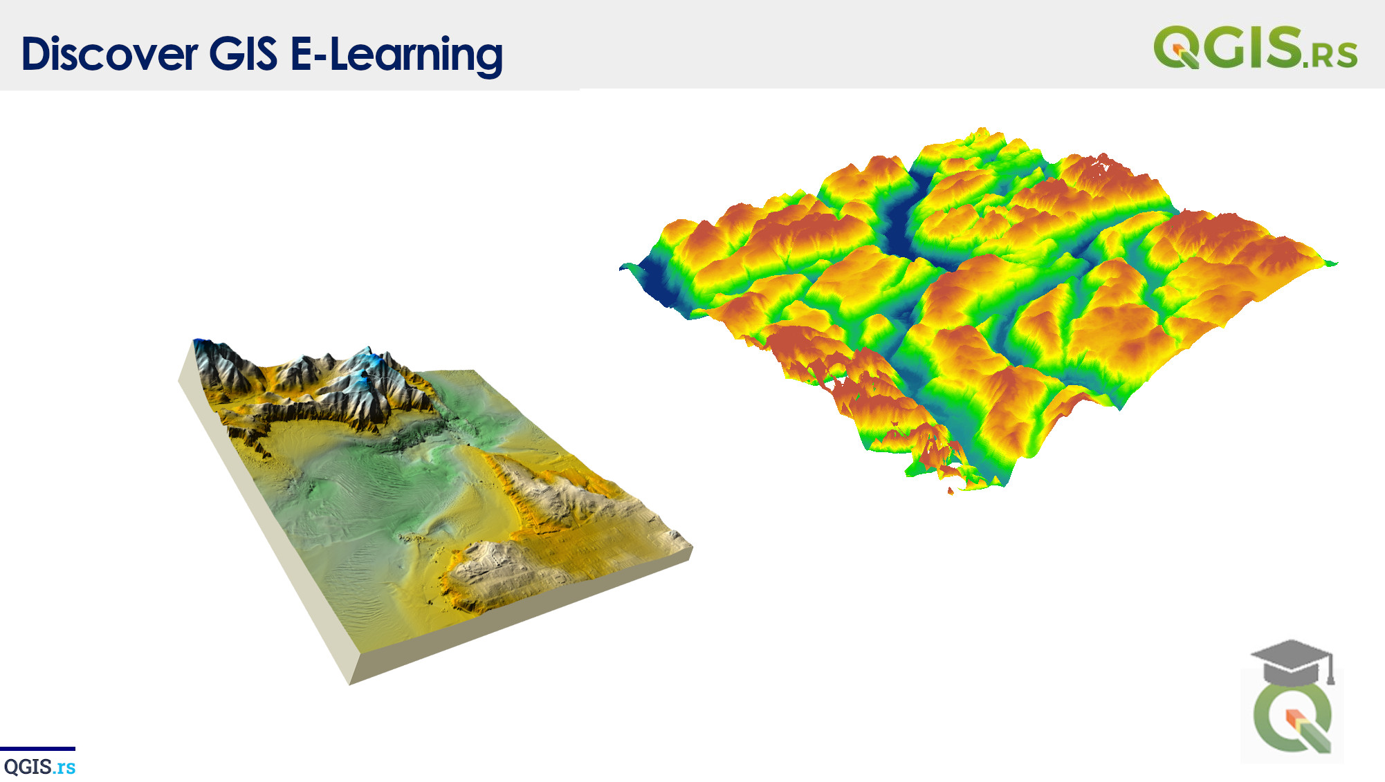
The QGIS SRTM Downloader plugin is a QGIS plugin that allows users to download Shuttle Radar Topography Mission (SRTM) digital elevation data for use in QGIS. SRTM data is a widely used source of global digital elevation data, which can be used to create detailed terrain models and hillshade images.
“GIS is the bridge between the abstract and the concrete, helping us see the world in a new way.“ - ChatGPT
