‘QGIS.rs’: QGIS interface - Attribute Table
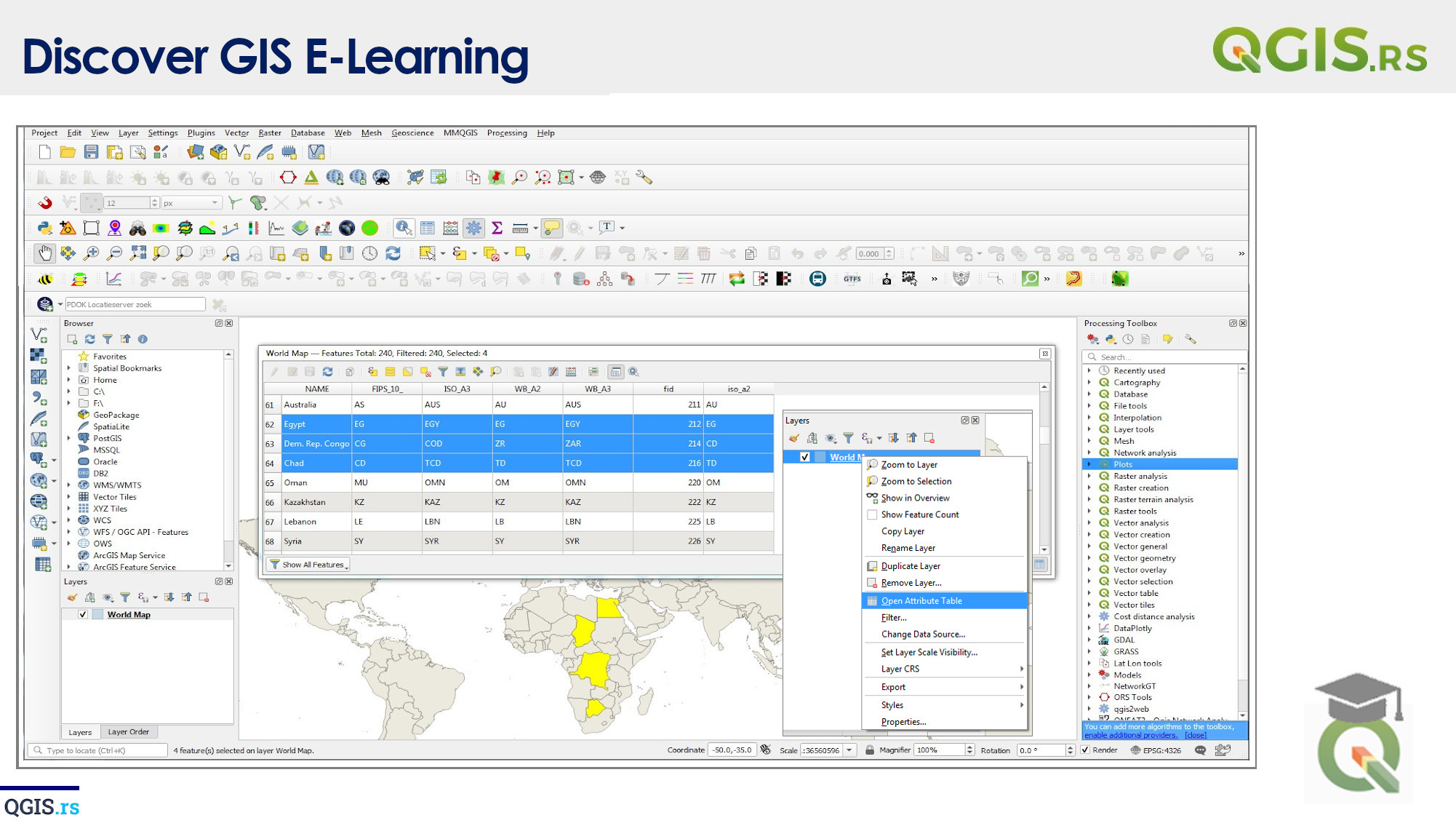
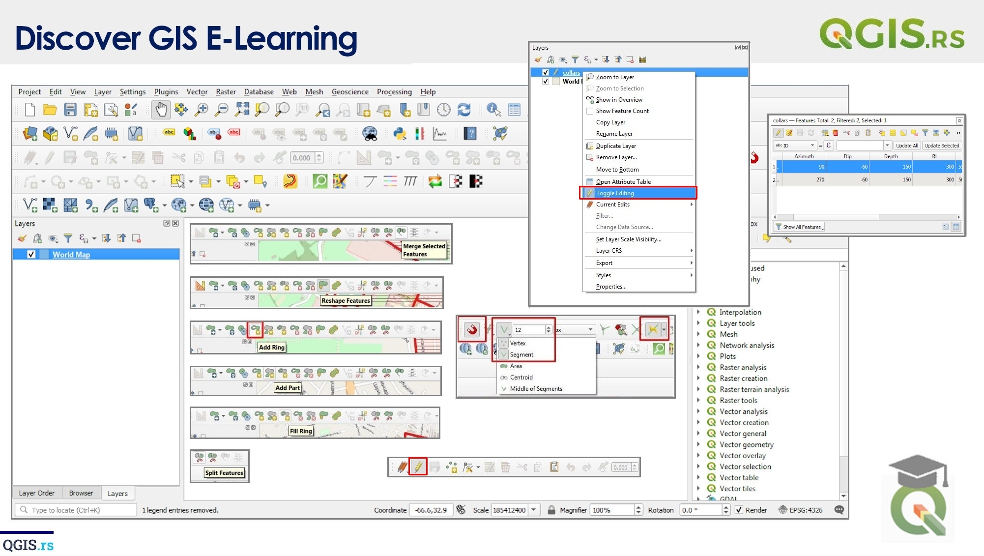
The Who, What, Where, When, and Why? Today we're going to be diving into one of the most powerful features of QGIS: the attribute table! You might be asking, what is an attribute table? Simply put, it's a table that lists all the features in your GIS data layer, along with its attributes or information. You can think of it like a spreadsheet with rows and columns, where each row represents a feature and each column represents an attribute, such as the name of a road, the population of a city, or the area of a park.
“Geospatial intelligence is like having a superpower, it lets you see things others cannot.“ - ChatGPT
