‘QGIS.rs’: Explore GIS components - Internet/Web GIS
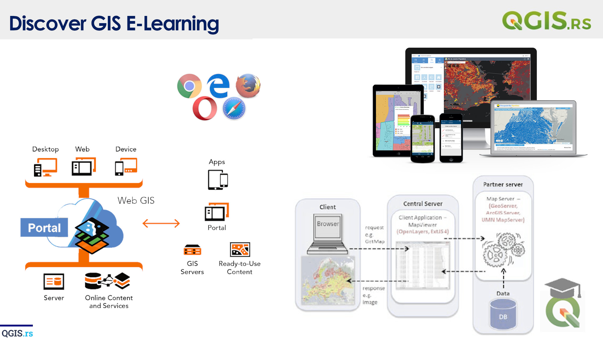
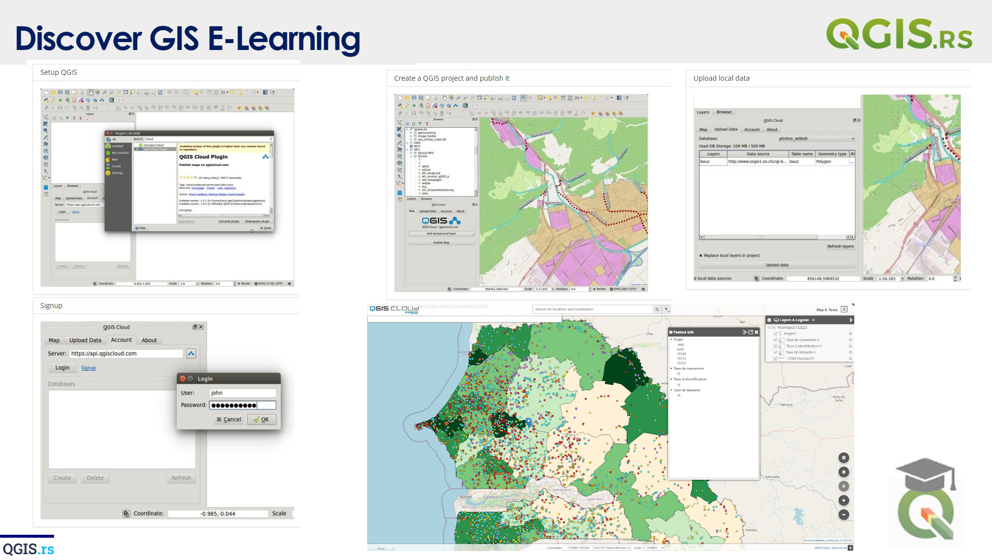
Welcome to the exciting world of Internet Web GIS! In this lecture, we'll dive into what Web GIS is and how it combines geographic information system (GIS) technology and the internet to allow us to access, visualize, and analyze geospatial data from anywhere in the world with an internet connection. With Internet Web GIS, you can publish and share your maps, data, and GIS services on the web, making them accessible to a wider audience and allowing for collaboration with colleagues, clients, and partners from anywhere, at any time, and on any device.
“GIS is a tool that helps us see the world in a whole new light.“ - ChatGPT
