‘QGIS.rs’: What is GIS? Dive into powerful GIS world and explore GIS components
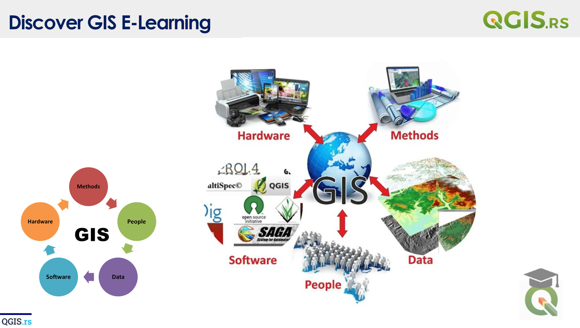
GIS, or Geographic Information System, is a system designed to capture, store, manipulate, analyze, manage, and present all types of geographical data. It uses maps and other graphic displays to help people understand and analyze data about locations, such as patterns, relationships, and trends. The main goal of a GIS is to provide an understanding of real-world phenomena through the use of geography.
“GIS is not just about technology, it's about people, communities and society.“ - Dana Tomlin
march 28, 2022
august 18, 2022
august 18, 2022
august 18, 2022
august 18, 2022
august 18, 2022
august 18, 2022